District Neighborhoods
[View it on Google Maps.]
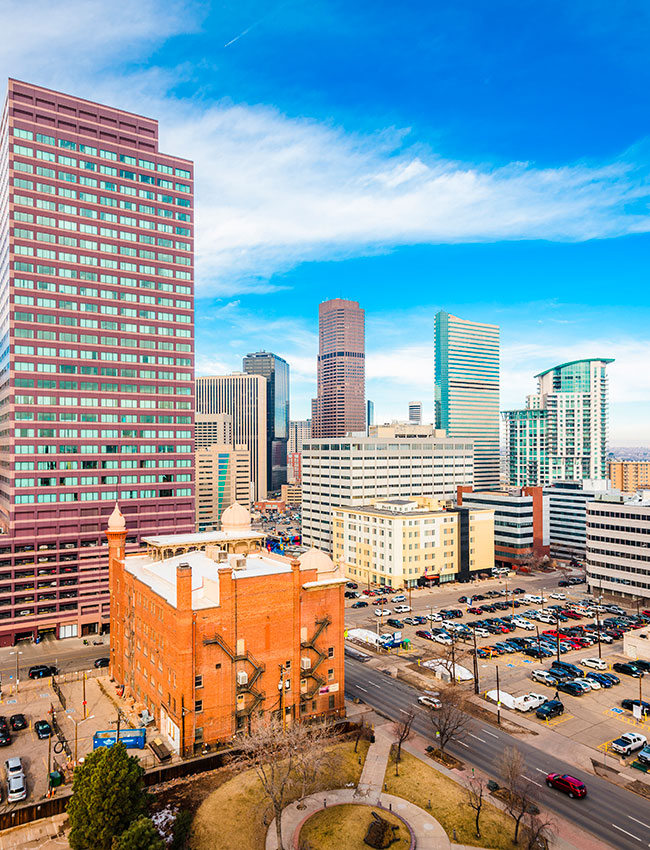
Central Business District
The Central Business District (CBD) is bordered by Colfax Ave to the south, Speer to the west, Lawrence St to the Northwest, 20th St to the Northeast, and Broadway to the East.
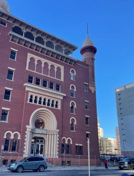
North Capitol Hill
This hip district has firmly established itself as a capital of “cool,” just east of downtown. Restaurant Row, the stretch of 17th Avenue running from Broadway to City Park.
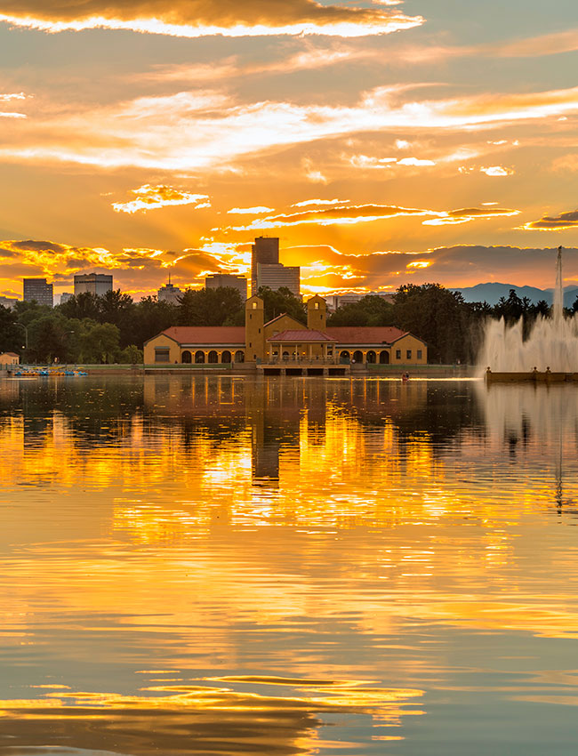
South City Park
South City Park is bordered by Colfax Ave to the South, York St to the East, 17th Ave to the north, and Colorado Blvd to the east.
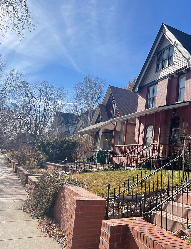
City Park West
City Park West is bordered by Colfax Ave. to the south, Downing st to the west, 23rd Ave to the north, and York St to the east.
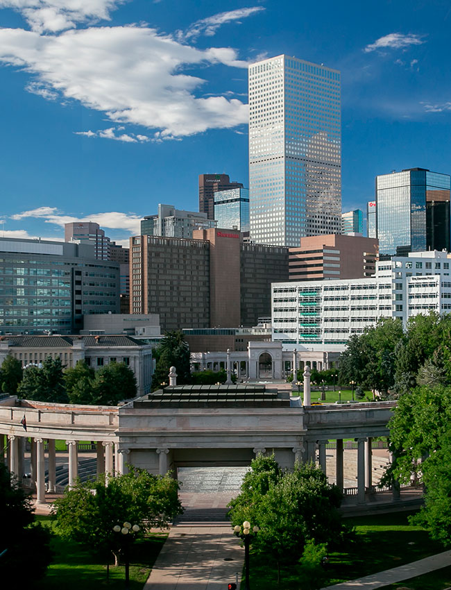
Civic Center
This neighborhood offers a vibrant mix of arts, culture, and Colorado history. Explore the gold-domed Colorado State Capitol with its “Mile High” marker on the thirteenth step.
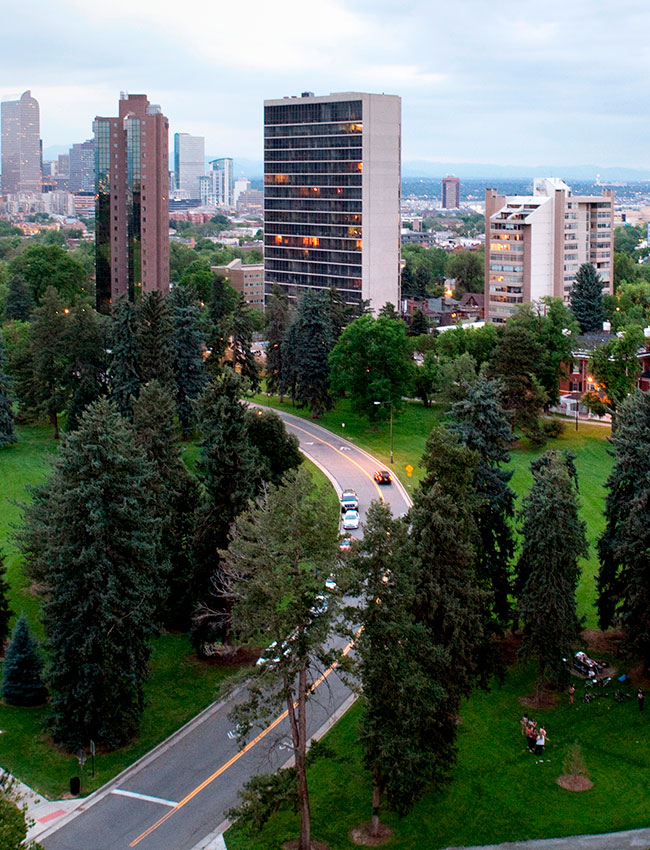
Cheesman Park
Named for the park within the neighborhood, Cheeseman Park is one of the area’s oldest communities and was developed in the late 1800s by some of Denver’s wealthiest residents.
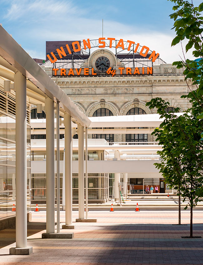
Union Station
Union Station is bordered by the Cherry Creek to the southwest, the South Platte River to the northwest, 20th St to the northeast, and Lawrence St to the southeast.
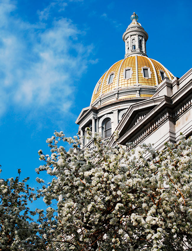
Capitol Hill
This neighborhood offers a vibrant mix of arts, culture, and Colorado history. Explore the gold-domed Colorado State Capitol with its “Mile High” marker on the thirteenth step.
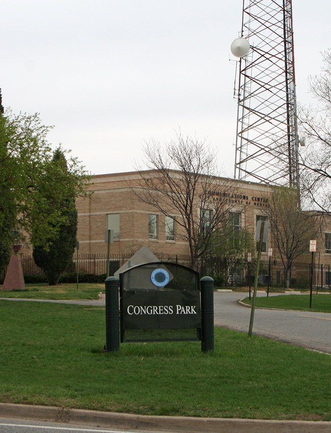
Congress Park
Until the 1850s, the neighborhood of Congress Park was Native American land. After a growth surge in Denver, the district became home to residences for its growing population.